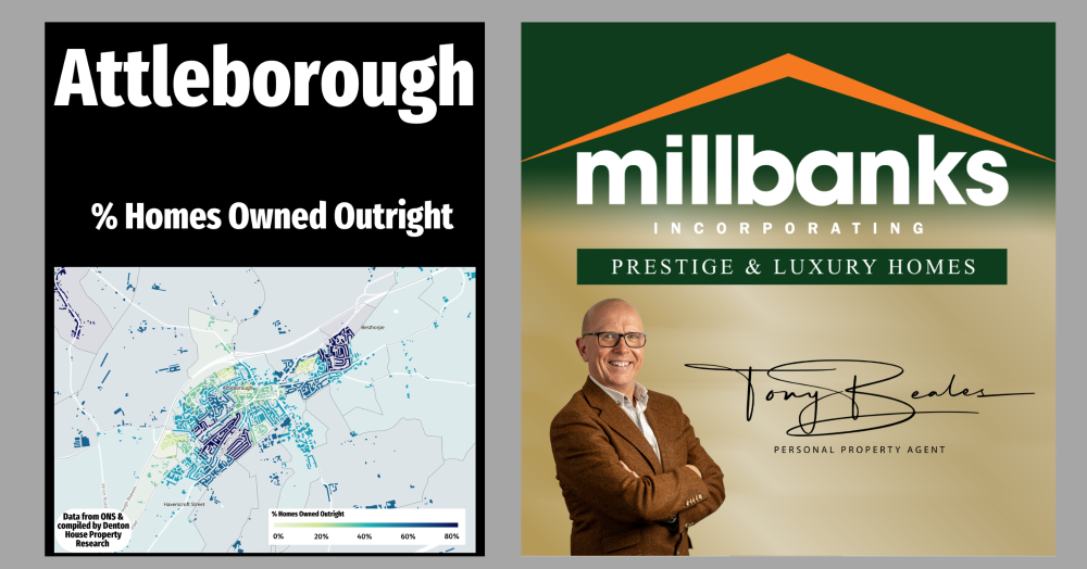
Percentage of Homes Owned Outright in Attleborough
This map reveals how homes in Attleborough are owned, from mortgage-free households to rented areas. These patterns matter because ownership shapes how and why people move, whether driven by lifestyle choices, long-term roots, or changing life stages, offering valuable insight into the local property landscape.
This map shows the percentage of homes in the Attleborough area that are owned outright, without a mortgage. The deeper blue shades indicate locations where a larger number of households have already paid off their mortgage. The turquoise areas tend to show places where most the owners are still paying their mortgage. The lighter green areas usually show where there is a higher proportion of rented accommodation, either private or social.
Why is this helpful? People who own their homes outright often make moving decisions differently. They tend to move for lifestyle reasons, rather than work or affordability. They may be downsizing, upsizing to be closer to family, or looking for a home that better suits how they want to live in the next stage of life. They are also more likely to move when they feel the time is right, rather than being driven by mortgage rates.
Areas where more people own outright may also indicate long-settled communities with strong ties to the neighbourhood. Meanwhile, areas with more rented or mortgaged homes usually have more movement, younger households, and a wider range of life stages.
Understanding these patterns helps us speak to homeowners in a way that is relevant and respectful, and helps us offer the right guidance, whether someone is thinking of moving this year, next year, or simply planning ahead.
If you'd like to find out what your home might be worth in 60 Seconds, please 'click' the banner ad below